The Gilboa Nature Reserve encompasses the area around Mount Gilboa, south of the Sea of Galilee in Lower Galilee. The reserve covers a lush landscape with hike trails, mesmerizing views, and breathtaking wildflowers. The main attraction is Mount Gilboa, which is part of a boomerang-shaped ridge stretching for 18kms and separating the southeast part of Jezreel Valley from the west.
The ridge is Israel’s watershed where tributaries of the Kishon River flow down towards the Mediterranean. At the foot of the ridge, is a geological fault that separates it from the Harod Valley. Several springs originate in the fault line, the largest being Harod Stream.
Mount Gilboa is mentioned in the Old Testament as the place where the Israelite King Saul fought the Philistines (Samuel I 28-31) in the 11th century BC. The battle ended with Saul and three of his sons being killed, leaving his son David to be the next King of Israel. The peaks of the Gilboa Range bear the names of Saul and his sons, Johnathan, Avinadav, and Melchishua, as well as biblical events.
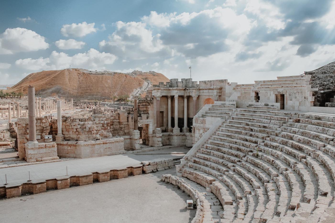
Archaeological remains and ancient Roman burial caves found nearby show that the area was inhabited 2,000 years ago. The ancient agricultural communities were wine producers who left behind many ancient wine presses. In 636 AD, an Arab conquest drove the settlers away, and it was 250 years later when several small Arab villages were established in the area.
In 1183, the Crusaders fought Saladin, Sultan of Egypt and Syria at the foot of Mount Gilboa. The Battle of Ain Jalut was fought here in 1260 when the Egyptian Mamluks, led by Beybars, successfully repelled the Mongols in their westward advance. If the outcome had been different, Europe would be unrecognizable today!
In the 1920s the Jewish National Fund (KKL-JNF) began acquiring land in the area, and four communities were established – Ein Harod, Tel Yosef, Heftziba, and Beit Alpha. During the 1948 Israeli War of Independence, the Gilboa Arab villages were used as a base for the Iraqi army to launch attacks on Jewish communities. The Arab villages were abandoned and at one point the Iraqi forces occupied the ridge.
In the last few days before the end of the war, Israeli’s climbed to the top of Mount Barkan and reclaimed the peak. The security situation remained tenuous, and in 1958 the KKL-JNF created a patrol road along the Green Line from Sandala to Har Barkan, Faqqua, and Jilabun to Mt. Melchishua, and along the descent to Beit Shean Valley.
Next, the KKL-JNF took it upon themselves to plant trees on Mt. Gilboa. Today the forest covers about 5,000 acres. Roads were built through the forests, hike trails were established, and Kibbutz Maale Gilboa was founded in 1962. In 1970 the Gilboa Iris Nature Reserve was declared to protect the rare Gilboa irises, and in 2005, the eastern Gilboa Nature Reserve was established covering 1829 hectares.
Mount Saul: Here you’ll find the main recreational area as well as incredible views of the valley below. The peak stands out from the chain of peaks along the ridge. Archaeological findings on Mt. Saul show evidence of human inhabitation as far back as the Paleolithic period, Bronze Age, Israelite period, Roman era, and the Byzantine period.
Saul’s Shoulder: This site is home to Mt. Gilboa’s main recreational area and is a good point to start hiking towards Mt. Saul or to Mt. Giborim. Fierce battles took place here during the 1948 War of Independence.
Tel Jezreel: It was here that biblical King Ahab built his palace, and lived with his wife Jezebel. On the advice of his wife, Ahab killed Naboth to get his vineyards.
Hidden Valley: This hiking trail leads from Mt. Barkan to the Harod Valley near the Old Tel Yosef site. It is a challenging trail suited to experienced hikers and can be too slippery to follow in the rainy season.
Yitzpor Stream: You can follow a hiking trail from north of Kibbutz Maale Gilboa, to the road that leads to Beit Alpha.
Gilboa Scenic Road: If you’re not into hiking you can take the scenic road on the eastern ridge of Mount Gilboa. The route stretches east from Highway 666. Along the route, there are picnic areas, observation points, and places where you can join hike trails.
Fauna and Flora: From late February to late March, the Gilboa is covered with a carpet of Hayne’s Iris (Gilboa Iris). This violet flower has six petals of two kinds that are arranged alternately, three up and three turned down.
The northwestern slopes are covered with Mediterranean flowers, while those on the southeastern slopes are characteristic of flowers found in the steppe regions. Among the flowers of Mount Gilboa are cyclamen, crocuses, anemones, lilies, Sharon tulips, Persian buttercups, poppies, orchids, Aleppo Adonis, and thistles.
The nature reserve is also home to approximately 170 plant species. This is the habitat of several animal species including reptiles, rodents, and birds. You can see gazelles, rock hyrax, foxes, rabbits, badgers, and other small creatures in the nature reserve. Alongside the Gilboa Nature Reserve is the Gilboa Iris Nature Reserve where these rare flowers are protected on 728 hectares of mountain slopes.
Nurit Area: Here you’ll find picnic tables and a recreational area.
Iris Area: This recreational area is great for seeing the brilliant Gilboa irises. You can follow a footpath through the beautiful flowers.
Ishta Area: This is a small recreational area not far from Saul’s Shoulder.
Vinya Reuven Cohen Area: This small area is named after an early member of Kibbutz Ein Harod. From here there are views of the kibbutz.
Golden Gate Area: This is a great choice in spring when the area is blooming with wildflowers. From here paths lead to the Hidden Valley and onto Har Lipidim Nature Reserve.
Maale Gilboa Area: This recreational area beside Kibbutz Maale Gilboa, offers views across the southern section of the Gilboa Ridge from several observation points connected by a footpath.
Mount Avinadav Area: Here you have views of the Jordan Fault and across the Gilead Region and Beit Shean Valley. A 7km trail leads from here to Avinadav Cave, and on to Ein Moda. There are picnic tables, ancient olive trees, and a fascinating installation that allows the wind to make music as it blows through metal pipes.
Barkan Area: This area is used for large gatherings, and offers views south across the Green Line. There is a hiking trail to the Hidden Valley through fields of wildflowers.
Old Tel Yosef Area: This area is at the foot of Mt. Gilboa, and marks the endpoint of a trail that leads down from Mt. Barkan through the Hidden Valley.
Visitors can enjoy the reserve’s picnic areas, barbeque areas, recreational areas, marked hike trails, and the area’s natural beauty. If you’re coming from Tel Aviv, follow the coastal road (Route 2) until just before Caesarea, and turn inland to route 65. Follow Route 65 (Kvish HaSargal, named for being as straight as a ruler) to just outside Afula.
Turn south (right) at Sargel Junction onto route 675. The road turns slightly right and becomes 675 then merges onto route 71. From there turn right after 3km, and right again a few meters later. Then left, and right to find the park’s parking lot. If you’re using Waze, enter “Gilboa Lookout Parking”.
Interested in visiting Gilboa Nature Reserve? Book one of our private tours in the area.
Tours You May Like
Join Us
Keep in Touch


 Login / Register
 Contact


 Show On Map


 Certificate of Excellence
 Guaranteed Departure
 Low Prices Guaranteed
 24/7 Support